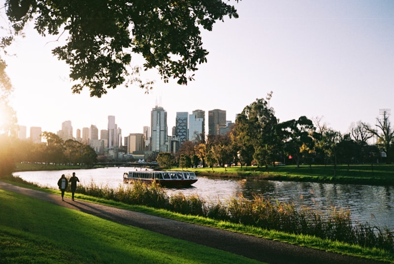

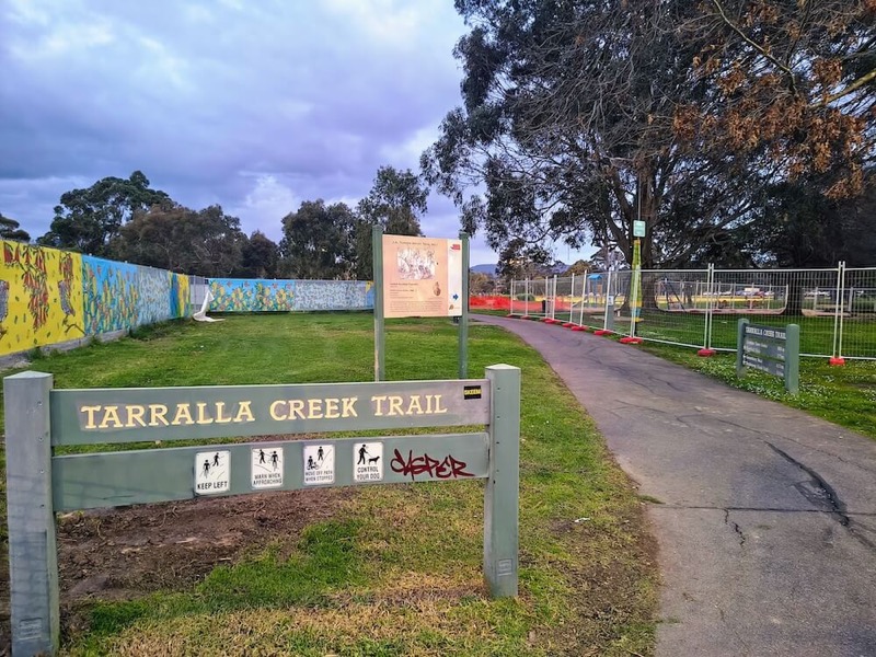
Tarralla Creek Trail is an easy, flat shared path running for approximately 5.5 kilometres from Hewish Road in Croydon towards Canterbury Road in Heathmont. Along the way, it passes wetlands, sporting grounds, neighbourhood parks and shaded sections beside Tarralla Creek.
It is the kind of trail that works whether you have 30 minutes or half a day. Families can explore the wetlands and return to Croydon Park, while walkers and cyclists can follow the full trail and continue towards the Dandenong Creek Trail network.
Tarralla Creek Trail quick facts
- Distance: Approximately 5.5km one way
- Route: Linear trail; about 11km if you return the same way
- Difficulty: Easy
- Gradient: Flat
- Surface: Sealed and gravel sections
- Suitable for: Walking, running and recreational cycling
- Best starting point: Croydon Park near Hewish Road
- Public transport: Croydon Station is close to the northern end
- Facilities: Toilets, drinking water, seats and shelters around the main park precincts
- Dogs: Keep dogs on a lead along the shared trail
- Longer option: Continue towards Dandenong Creek Trail
Allow roughly 75 to 90 minutes to walk the trail one way, depending on your pace and how often you stop. A relaxed bike ride will be quicker, although crossings, side paths and park stops can easily stretch the outing.
Where does Tarralla Creek Trail start and finish?
The easiest northern starting point is near Croydon Park on Hewish Road. It is close to Croydon Station, Main Street, public toilets and several sporting facilities.
From Croydon, the shared path travels south through a chain of open spaces including Town Park, Tarralla Creek Wetlands, Eastfield Park and Gracedale Park before reaching Canterbury Road.
Beyond Canterbury Road, walkers and riders can continue along the connecting route near Bungalook Road East to reach Dandenong Creek Trail. This final section follows local connecting paths rather than an uninterrupted creekside trail.
The Maroondah City Council trail guide lists current route details and facilities.
Start at Croydon Park for the easiest outing
Croydon Park is the most practical place to begin, particularly for families and first-time visitors. The trail entrance is near Hewish Road, with Croydon Station and the Main Street shopping area within walking distance.
The surrounding precinct includes toilets, sporting grounds, tennis courts and skate areas, with options for a picnic, play or coffee after the trail.
Parking is available around the precinct, with restrictions varying by space. The council's Croydon Connects map shows the station, toilets, shops and nearby facilities.
Follow the creek through Town Park
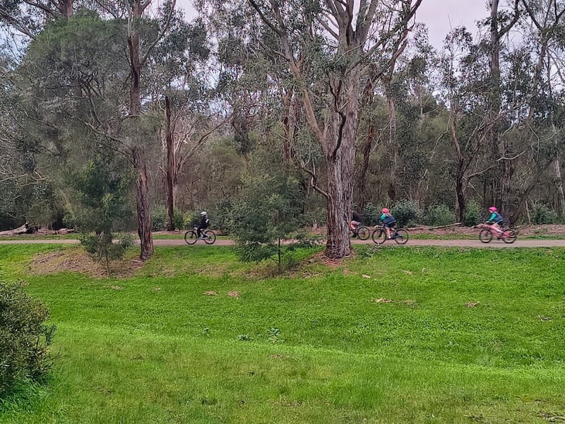
From Croydon Park, the route moves through a series of connected open spaces rather than disappearing immediately into bushland.
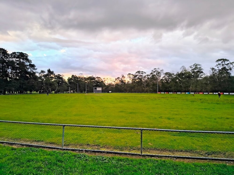
Town Park and Fred Geale Oval provide an open section of the outing, with playing fields and established trees beside the trail.
These parks are local landmarks rather than formal trail stages, and kilometre markers do not appear at every junction.
Slow down at Tarralla Creek Wetlands
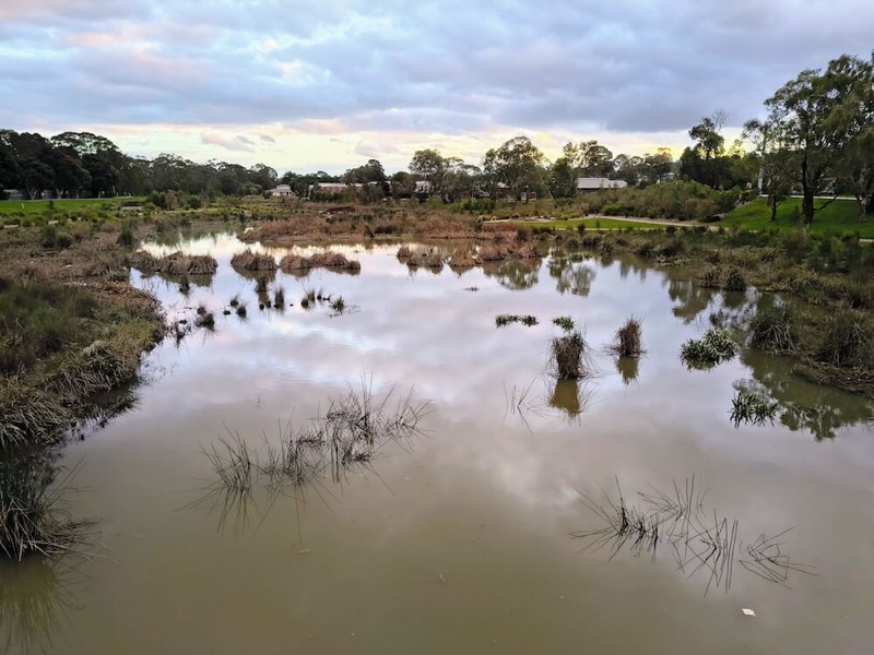
The wetlands are the most scenic part of the trail and the best destination for a shorter visit.
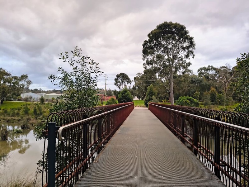
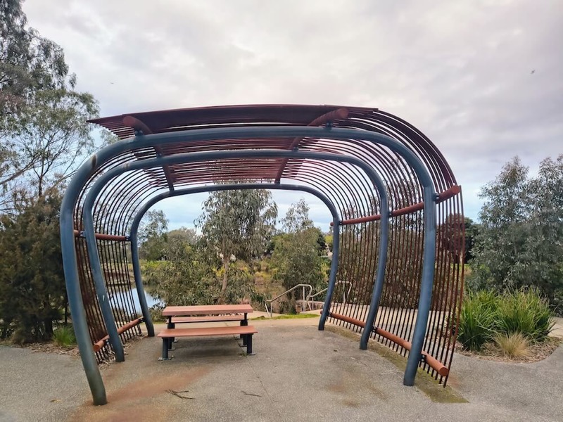
Still water, reeds, mature trees and a pedestrian bridge make this section feel removed from nearby Croydon. Seats and shelters provide places to pause, while smaller tracks let walkers explore closer to the water.
Melbourne Water says the first stage of its Tarralla Creek restoration project transformed a 500-metre section of the former drain into a more natural creek and revitalised wetland.
For a simple family outing, start at Croydon Park, explore the wetlands and return the same way. You do not need to complete the entire trail to enjoy its best features.
Choose between the main path and side tracks
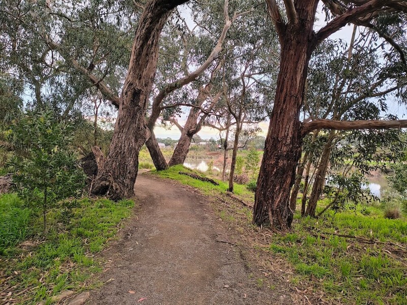
The trail combines a broad shared path with smaller tracks that branch closer to the creek and wetlands.
The main path has the most predictable surface for bikes, scooters, prams and mobility aids.
The narrower side tracks offer more shade and a quieter walk, but they can be uneven or muddy after rain and may not return exactly where expected.
Is Tarralla Creek Trail suitable for children?
The main shared path can work well for children who are comfortable riding or scooting in a public space. The terrain is generally flat, and Croydon Park provides a convenient starting point with nearby facilities.
This is not an enclosed learn-to-ride circuit. The route is shared with walkers, runners and other cyclists and includes path junctions and road crossings. The wider sections around Croydon Park and the wetlands are the most practical choice for younger or less experienced riders.
A short ride from Croydon Park to the wetlands makes a good first visit without committing to the full trail. For more outing ideas, see KeepActive's guide to family-friendly walks in Victoria.
Can you use a pram or mobility aid?
The wider sections are the most suitable option for prams, wheelchairs and mobility aids, but conditions vary along the route.
Sealed sections are easier to manage than the narrower gravel and earth tracks. Road crossings, surface changes and occasional gaps between trail sections also need to be considered.
The Croydon Park and wetlands area offers the most predictable option for a shorter step-free outing.
Continue through Eastfield and Gracedale parks
South of the wetlands, Tarralla Creek Trail continues towards Eastfield Park. This part of the journey feels more like a connecting route, with local roads and junctions requiring a little more attention.
Near Eastfield Road, the trail follows Bayswater Road briefly before crossing and resuming on the other side rather than continuing straight ahead.
Eastfield has a dedicated off-leash dog park, while dogs should remain leashed on the shared trail. The nearby Eastfield shops can also provide a convenient drink or food stop.
Farther south, Gracedale Park has open space, picnic facilities, a playground and sporting areas. From there, the trail continues towards Canterbury Road.
Connect with Dandenong Creek Trail
Reaching Canterbury Road does not have to be the end of the ride. Continue along the connecting route near Bungalook Road East to join Dandenong Creek Trail.
This junction opens up a much larger cycling network, including routes towards Bayswater, Jells Park and other eastern Melbourne trails. KeepActive's Dandenong Creek Trail guide explains the main sections, facilities and connecting paths.
If you plan to return to Croydon, remember that the 5.5km trail becomes an 11km outing before any Dandenong Creek extension.
Try the Croydon-to-Bayswater station walk
For an easier one-way walk, continue beyond the Tarralla Creek Trail and finish at Bayswater Station rather than retracing your steps.
The Croydon-to-Bayswater station walk is approximately 8.7km and includes the trail connections at both ends. Walking Maps suggests allowing around three hours.
Returning to Croydon by train normally involves changing between the Belgrave and Lilydale lines at Ringwood.
Coffee, toilets and public transport
Main Street Croydon is the best place for coffee before or after the trail. It is close to Croydon Station and within walking distance of the Hewish Road starting point.
Public toilets and drinking water are available around the Croydon Park precinct. Other parks along the route have seating and picnic facilities, though toilets and drinking water are not available at every stop.
Croydon Station provides the simplest public transport access. Bayswater Station becomes useful if you extend the walk beyond Tarralla Creek Trail.
Three ways to enjoy Tarralla Creek Trail
A short wetlands outing
Start at Croydon Park, follow the shared path to the wetlands, explore the bridge and nearby tracks, then return the same way. This is the best choice for younger children, scooters or a relaxed local walk.
The full Tarralla Creek Trail
Follow the approximately 5.5km route from Hewish Road towards Canterbury Road. Return the same way for an outing of about 11km or arrange transport from the southern end.
A Croydon-to-Bayswater walk
Continue beyond Canterbury Road to Dandenong Creek Trail and finish at Bayswater Station. This longer station-to-station option removes the need to retrace your steps.
Frequently asked questions
How long is Tarralla Creek Trail?
The official trail is approximately 5.5km one way. Returning along the same route makes an outing of about 11km.
Is Tarralla Creek Trail flat?
Yes. Maroondah City Council classifies the trail as easy and flat, making it suitable for casual walking and recreational cycling.
Is the entire trail sealed?
No. The route includes sealed and gravel surfaces. Smaller tracks around the wetlands can be rougher or muddy after rain.
Can children ride on the trail?
Yes, provided they can safely use a public shared path. Younger riders are best suited to the wider sections near Croydon Park and the wetlands.
Are dogs allowed?
Dogs are welcome but should remain on a lead along the shared trail. Eastfield Park has a separate off-leash dog area.
Where should I park?
Croydon Park near Hewish Road is the most convenient starting point, with parking around the precinct.
Does the trail connect to Dandenong Creek Trail?
Yes. Beyond Canterbury Road, a route near Bungalook Road East uses local connecting paths to reach Dandenong Creek Trail.
Explore more Melbourne trails
If Tarralla Creek has put you in the mood for a longer shared path, read KeepActive's Dandenong Creek Trail guide or explore the Main Yarra Trail walking and cycling guide.
Is Tarralla Creek Trail worth visiting?
Tarralla Creek Trail is not a dramatic wilderness walk, and that is part of its appeal. It is an accessible neighbourhood trail linking wetlands, parks, shops and sporting spaces through Melbourne's eastern suburbs.
Come for a quiet walk beside the water, a short family bike ride or the beginning of a longer journey onto Dandenong Creek Trail.