

Melbourne's Main Yarra Trail — What It Is and Where It Goes
The Main Yarra Trail runs 38 kilometres through Melbourne's inner and middle-eastern suburbs, following the Yarra River from Princes Bridge near Federation Square in the CBD all the way to the Mullum Mullum Creek Trail junction in Templestowe. It passes through Richmond, Abbotsford, Kew, Hawthorn, Heidelberg, and Eltham — mostly flat, mostly off-road, and well-connected to the broader trail network.
It's a good trail for cyclists and walkers at most fitness levels. The difficulty sits between easy and medium. There are no significant climbs, though the surface shifts as you head further from the city: concrete and bitumen in the inner suburbs, compacted gravel along the river flats further northeast. A hybrid or road bike handles it comfortably; narrow-tyre road bikes will find the gravel sections beyond Heidelberg a bit loose.
What's Changed in 2026: The North East Link Works and New Gipps Street Path
If you've been avoiding the trail since the North East Link works started, the disruption is over. The section through AJ Burkitt Reserve — between Watsonia and Bulleen in Melbourne's northeast — was closed while Tunnel Boring Machines excavated a 6.5-kilometre road tunnel beneath it. That section reopened on 2 April 2026, once the TBMs had completed more than 80% of their journey.
Ground condition monitoring continues at AJ Burkitt Reserve and nearby Banksia Park while construction progresses on cross passages between the tunnels. Oval remediation — turf installation and hydroseeding — is expected to wrap up and be handed back to council in late April 2026, so parts of the reserve may still look like a worksite for a few more weeks. Updates are published by Victoria's Big Build if any temporary closures are needed.
The more significant change came a few weeks earlier. In February 2026, a 200-metre elevated pathway at Gipps Street in Abbotsford replaced the steep pedestrian steps that had made that section difficult for cargo bikes, prams, and anyone with mobility requirements. The Parks Victoria upgrade was backed by a $15 million Victorian Government investment. If you've ridden this section before and remember the awkward dismount at those steps, it's gone.
The Route End to End: Princes Bridge, Melbourne to Templestowe
Landmarks along the way
The inner-city stretch is the most built-up and the most varied. From Princes Bridge you pass Melbourne Park and the MCG, then track alongside the Royal Botanic Gardens as the river corridor opens up heading east. Dights Falls in Abbotsford — where Merri Creek joins the Yarra — is a natural stopping point, with seating and a bit of history around the old mill site. From there, Yarra Bend Park in Kew gives the trail a noticeably different feel: quieter, bushier, with riverside cliffs and the occasional pair of flying foxes overhead.
Beyond Heidelberg the trail becomes less urban and more open, following the river flats toward Eltham before finishing at the Mullum Mullum Creek Trail in Templestowe. Allow two to three hours at a comfortable pace for the full 38 kilometres — more if you stop, which is worth doing.
Getting to the trail by train
The trail is well-served by Melbourne's rail network, which makes one-way rides easy to plan. Flinders Street Station sits at the CBD end near Princes Bridge. Clifton Hill, Heidelberg, and Eltham stations all give access at different points along the route, so you can ride out and train back — or the reverse — without retracing your steps.
How the Main Yarra Trail Connects to Melbourne's Trail Network
One of the trail's strongest features is how many other routes branch off it. It connects to 12 other shared paths, making it a useful spine for longer rides across Melbourne's northeast. The most-used connections are:
- Capital City Trail — Melbourne's inner orbital loop, linking at the CBD end near Princes Bridge
- Merri Creek Trail — branches north at Dights Falls in Abbotsford
- Koonung Creek Trail — heads east toward Box Hill from the middle section
- Mullum Mullum Creek Trail — continues toward Ringwood from the Templestowe terminus
If you're planning to find a cycling group in Melbourne to explore these routes with, the trail network's connection points make it easy to design loop or point-to-point rides of almost any length. For a guide to other off-road options around Victoria, the best rail trails in Victoria covers some excellent alternatives beyond the metro area.
Planning Your Ride or Walk on the Main Yarra Trail
A few practical details worth knowing:
- Oval remediation near AJ Burkitt Reserve continues through late April 2026 — expect some signage and temporary fencing near the reserve even though the trail itself is open.
- The gravel sections from Heidelberg onward suit hybrid or mountain bikes better than narrow-tyre road bikes.
- Public toilets and drinking water are available at Yarra Bend Park (Kew) and at Dights Falls (Abbotsford).
- The trail is shared with pedestrians — slower at busy weekend times near the inner-city section, quieter further out.
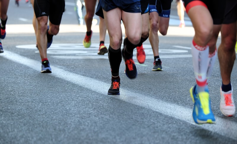
If this is your first longer ride, these cycling injury-prevention tips are worth a read beforehand. For walkers, the Yarra Bend section in Kew pairs well with the routes in Melbourne parks for mindful walks, and Melbourne's free guided walks programme lists organised options if you'd rather go with a group.
The trail is fully open, the new Gipps Street path has made the Abbotsford section accessible to more people, and autumn in Melbourne is good riding weather. It's a reasonable time to go.